Discover how DJI's 3De drones are revolutionizing land surveying – from revolutionary methods to streamlined, efficient results.
Maximum efficiency with minimum effort thanks to smart drone technology. Our drones scan your projects with unmatched precision, enabling you to respond to problems faster, implement fact-based policy, and eliminate ambiguities with clients or customers.
The problem;
Traditional methods cost time, money, and accuracy
Capturing detailed terrain, buildings, or infrastructure using manual measurements or ground teams is often:
– ⏳ Time consuming;weeks of data collection while project deadlines loom.
– 💸 Costlyhigh expenses on personnel, equipment, and rework due to errors.
– 🎯 InaccurateHuman error or limited access to complex locations results in incomplete models.
– 📉 Lacks scalabilityLarger projects become logistically unfeasible.
Without advanced technology, you risk delays, budget overruns, and decisions based on outdated data.
The solution;
Professional drone scans + 3D models: Fast, Accurate & Scalable.
With our custom-tailored drone solution, we transform any project into a digital blueprint:
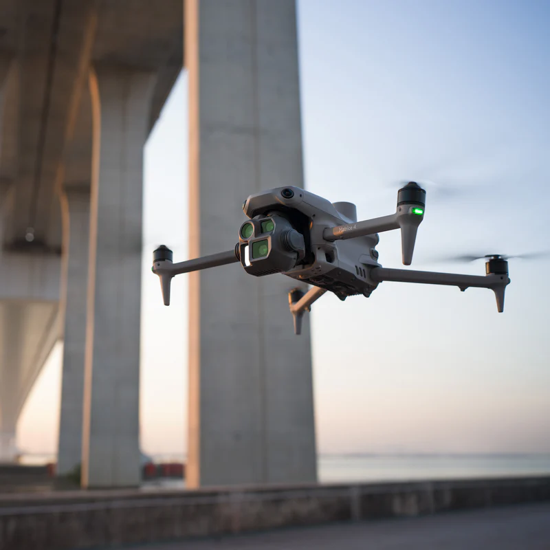
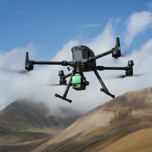
– 🚀 Speed;Scan an entire area within hours, even in hard-to-reach locations.
– 🔍 Pixel-perfect accuracy;Utilizing HD LiDAR and photogrammetry technology with accuracy up to 1 centimeter.
– 💰 Cost-effective;No expensive ground teams or delays – just reliable data.
– 🌐 Accessible insightsInteractive 3D models that you can immediately share, analyze, or integrate into BIM software.
Whether it's for construction inspections, land surveys, or heritage documentation: we deliver the data you can rely on – secure, legally compliant, and tailored.
Our process;
Automatically process your images in the cloud using photogrammetry algorithms to convert them into measurable results.
1. Consultation
Jouw behoefte, onze focus. Samen werken we naar een op maat plan
Of het nu gaat om bouw, inspectie of landmeting: we vertalen jouw visie naar een efficiënt drone-scantraject.
- 🎯 Scherpe scope-definitie
- 📍 Risico- en wettelijke checks (luchtruim, privacy)
- ✨ Advies op techniek (lidar vs. fotogrammetrie)
2. Generate
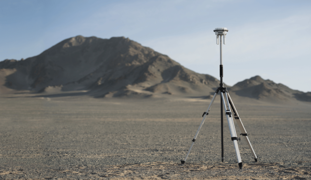
Onze gecertificeerde drone-operator verzameld alle data met nauwkeurigheid
- 🚁 HD-scans tot 1 cm detailnauwkeurigheid
- ⚡ Snelle uitvoering, zelfs in complexe omgevingen
- 🔒 Veilig & compliant (incl. vergunningen)
3. Analyze
Van ruwe data naar waardevolle insights
Onze specialisten transformeren scans naar interactieve 3D-modellen of volumetrische rapporten, afgestemd op jouw workflow.
- 📊 Diepgaande metrics (afmetingen, hoogtes, volumes)
- 🔍 Anomaliedetectie (scheuren, erosie, etc.)
- 📈 Toekomstgericht (vergelijkingen over tijd)
4. Share
Jouw model, altijd en overal toegankelijk
Deel 3D-data met klant of personeel via ons beveiligde platform, of exporteer naar jouw BIM/CAD-software.
- 🌐 Cloud-based toegang vanaf elk apparaat
- 🤝 Multi-user samenwerking met toegangsrechten
- 💾 Toekomstbestendige archivering (RAW-data backup)
Offerte aanvragen voor uw project doet u zo;
Teken met behulp van de tools in het onderstaande kaartje een gebied wat je in de scan wil opnemen, voeg naderhand evt extra informatie toe tijdens de voorbeidingen.
Offerte aanvragen - Capture